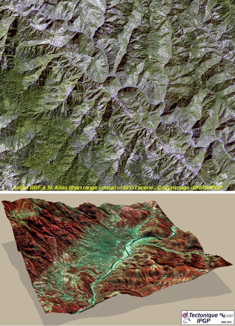
Haut. Image satellite SPOT de la partie nord de l'Ailao Shan bordée par la faille active dextre du Fleuve Rouge.
Bas. Modèle numérique de terrain du bassin en pull apart de Mosha (Replumaz et al, 2000).
Figure 7 The Red River active fault zone.
Up. SPOT satellite image of the northern stretch of the Ailao Shan range franged by the active right-lateral Red River fault.
Down. Digital elevation model of the Mosha pull apart basin (Replumaz et al, 2000).